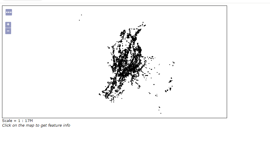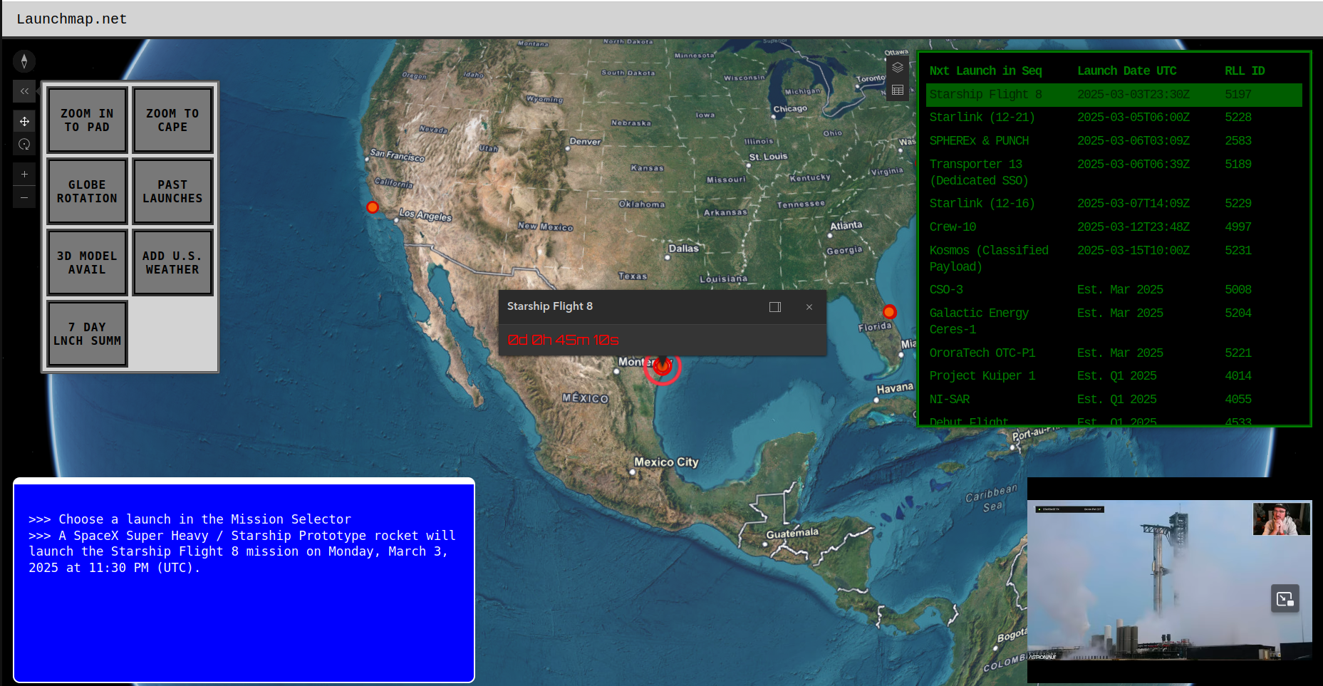
The ‘Sub-Orbital’ launch of Launchmap.net
It has taken many months, but I have finally launched the ‘sub-oribital’ (aka. pre-production) version of launchmap.net! I built this…
It has taken many months, but I have finally launched the ‘sub-oribital’ (aka. pre-production) version of launchmap.net! I built this…
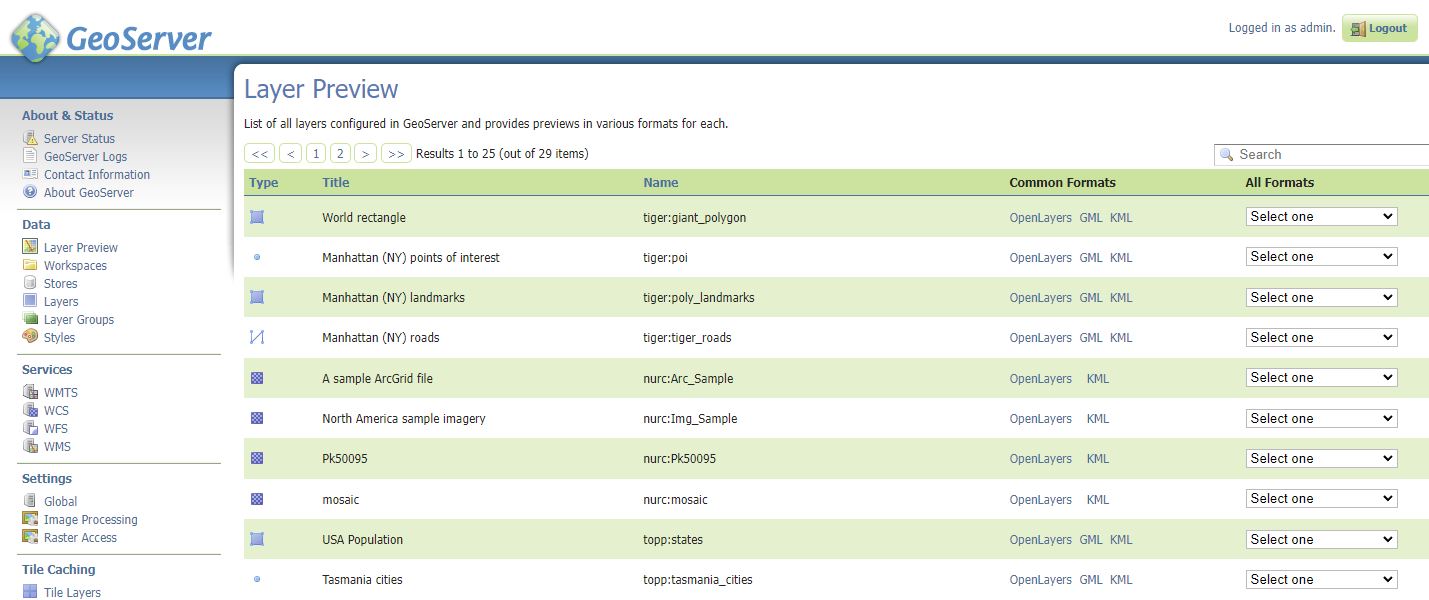
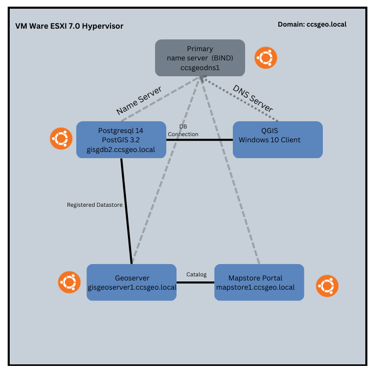
Geoserver layer preview. In part 3 of this series, we walked through how to deploy Geoserver, an Open Source GIS…
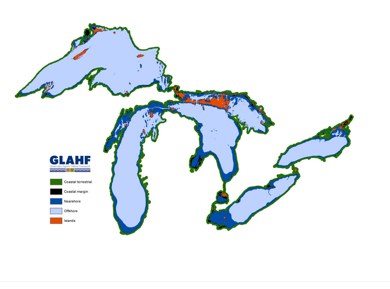
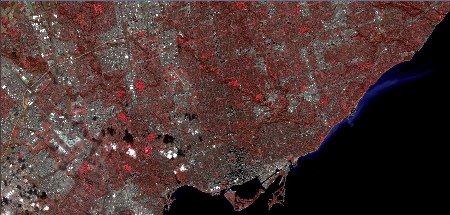
Exploring the Great Lakes through data. I was perusing Reddit the other day and I came across a post where…
Geoserver Layer Preview In Part 2 of our series on deploying an Open Source GIS Stack, we went through how…
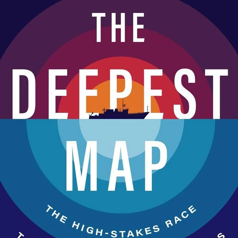
…. a map is always the start of something, not the end... The Deepest Map When I first started my…
The foundation of any open source GIS stack is PostgreSQL with the PostGIS extension. In part 1 of this series,…
Explaining what GIS is to people is always a challenge. I usually say it is ‘digital mapping’ to which the…
Every year, our company hosts an auction for old IT assets to help raise money for the United Way. For…
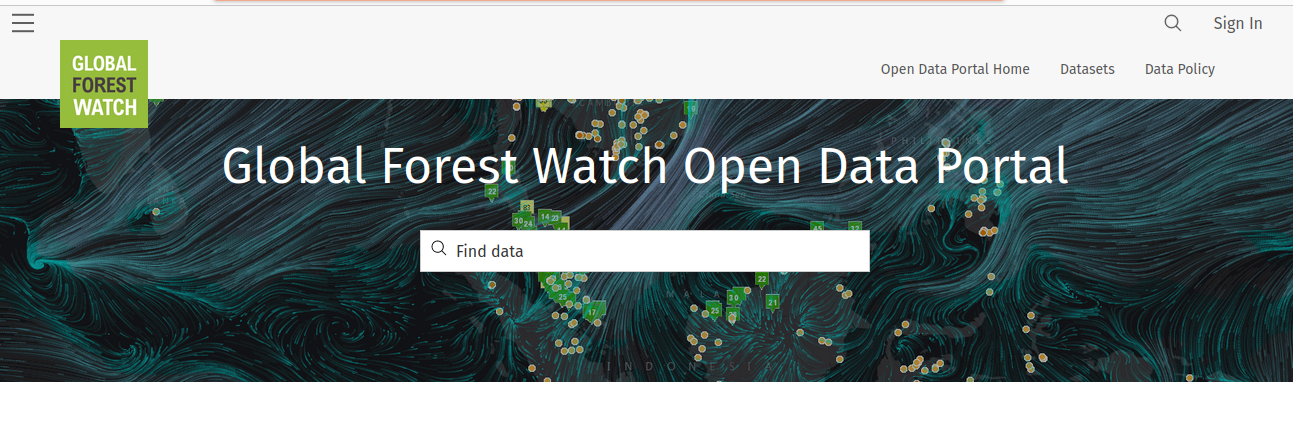
Introduction Welcome to the first instalment of Open Data Discovery! In this series, I want to highlight different sources of…
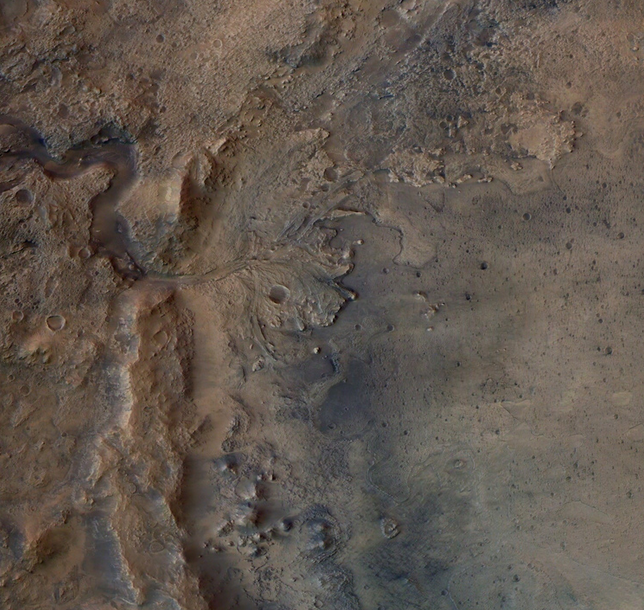
I remember being captivated by the live video of the Perseverance Rover landing on Mars back in February, 2021. The…