Skip to content

CCS Geo

GIS and Geographic Analysis

Day: December 3, 2023

The Cost of Satellite Imagery for Independent Analysis
General Satellite Imagery

The Cost of Satellite Imagery for Independent Analysis

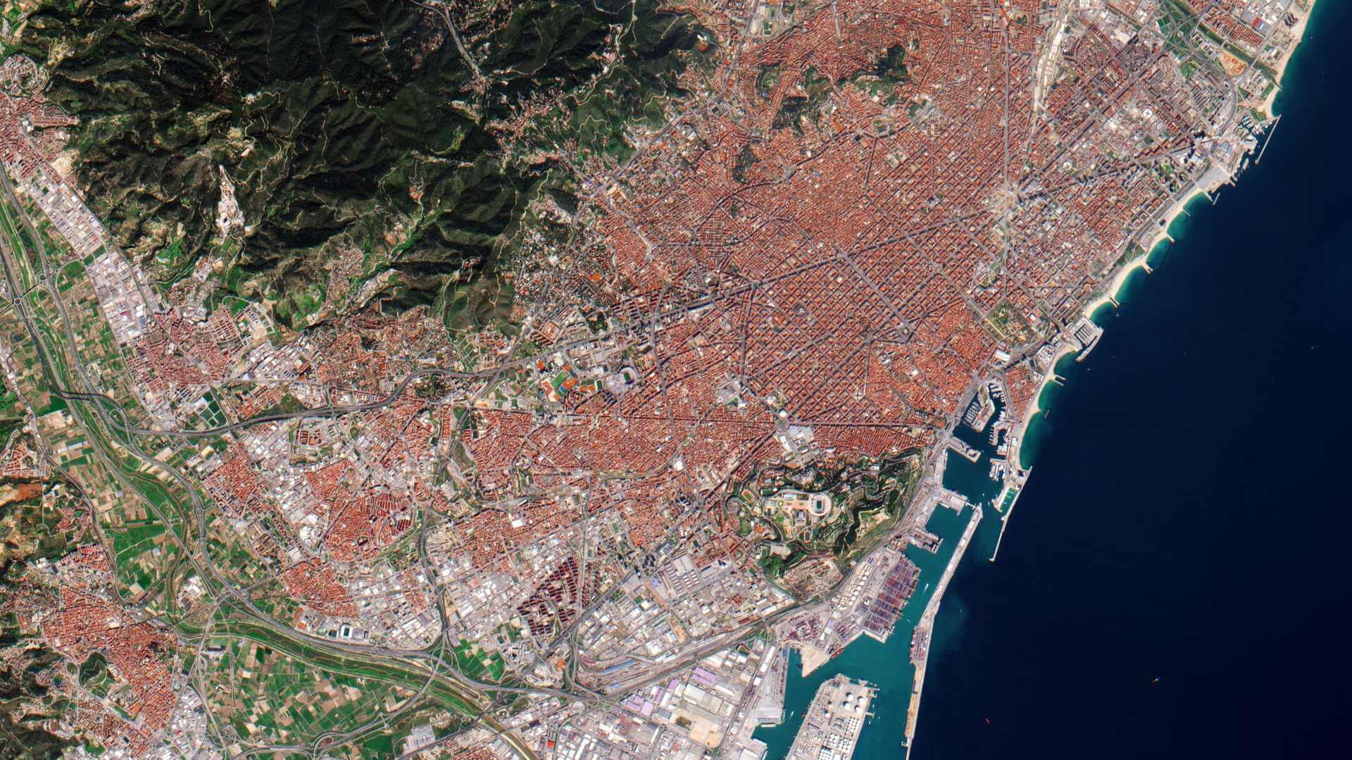
I have always wondered about the cost of high-resolution satellite imagery. We see satellite imagery being used more and more…

Carson SDecember 3, 2023December 15, 2023

About Me

My name is Carson and I am a GIS professional interested in sharing all things GIS and Geography. I currently work for Esri Canada as an Enterprise Support Consultant with a focus on Enterprise Geodatabases.

Contact

Need a map made? Just want to chat GIS? Send me an email:

admin@ccsgeo.com

Or check out my LinkedIn:

https://www.linkedin.com/in/carson-smulders/

Recent Posts

  • The ‘Sub-Orbital’ launch of Launchmap.net
  • Deploying an Open Source GIS Stack (Part 3.5: Publishing Layers to Geoserver)
  • Open Data Discovery: Great Lakes Aquatic Habitat Framework
  • Deploying an Open Source GIS Stack (Part 3: Installing Geoserver)
  • Geospatial Book Review: The Deepest Map

Archives

  • March 2025
  • March 2024
  • January 2024
  • December 2023
  • November 2023

Categories

  • ArcGIS Pro
  • Coding
  • Esri
  • FOSS
  • General
  • Geographic Thinking
  • Geography
  • Mapping
  • Oceans
  • Open Data Discovery
  • QGIS
  • Satellite Imagery
  • Space
  • Technology
  • Web
  • Workflow

Copyright © 2025 CCS Geo | Marvel Blog by Ascendoor | Powered by WordPress.